BASEASEACHIC
Context Analysis .
Análisis del Contexto
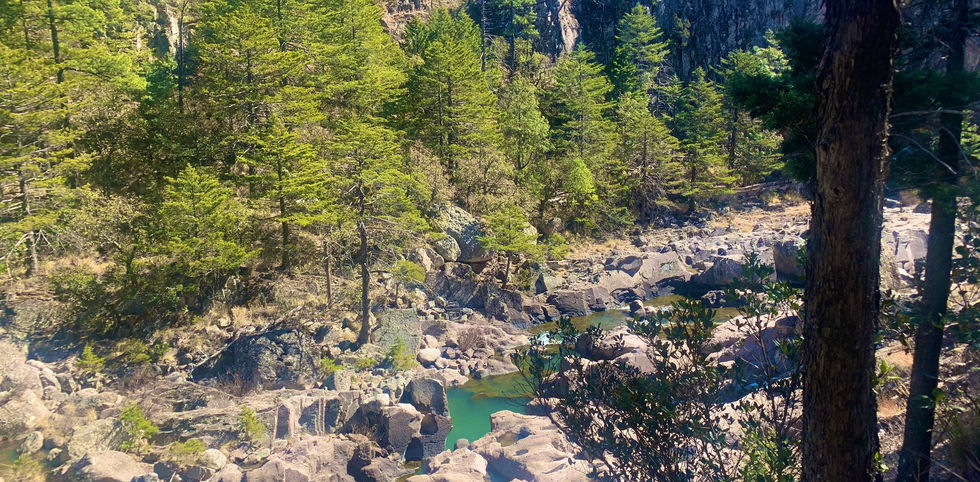
The natural resources and landscape importance of these valleys make the Sierra Trahumara one of the most important tourist attractions in Mexico and certainly in the state of Chihuahua. In particular, Basaseachic is internationally famous for the highest continuous (non-seasonal) waterfall in the Americas. Despite this, tourism in Basaseachic suffers considerably from lack of retention (it is daily tourism of tourists staying overnight in Creel or Chihuahua). Furthermore, the natural and landscape resources, as well as the social and economic structure of the municipality, are put at serious risk by the mining activity which sees 4 mines active in the municipality of Ocampo alone. This mining activity, together with the effects of climate change, as well as the lack of sensitivity towards environmental issues creates a difficult situation for sustainable and regenerative development. For this reason, during the workshops, two themes emerged on which the population wants to work: (1) raising awareness of the population regarding environmental issues and (2) thinking about a new form of tourist offer in the municipality
Los recursos naturales y la importancia paisajística de estos valles hacen de la Sierra Trahumara uno de los atractivos turísticos más importantes de México y ciertamente del estado de Chihuahua. En particular, Basaseachic es internacionalmente famoso por la cascada continua (no estacional) más alta de América. A pesar de esto, el turismo en Basaseachic sufre considerablemente por la falta de retención (es turismo diario de turistas que pernoctan en Creel o Chihuahua). Además, los recursos naturales y paisajísticos, así como la estructura social y económica del municipio, se ven gravemente amenazados por la actividad minera, que sólo en el municipio de Ocampo cuenta con 4 minas activas. Esta actividad minera, junto con los efectos del cambio climático, así como la falta de sensibilidad hacia las cuestiones ambientales, crea una situación difícil para el desarrollo sostenible y regenerativo. Por ello, durante los talleres surgieron dos temas en los que la población quiere trabajar: (1) concientizar a la población respecto a temas ambientales y (2) pensar en una nueva forma de oferta turística en el municipio.

Located in one of the highest areas of the Sierra Madre Occidental, which in Chihuahua receives the local name of Sierra Tarahumara; Its geographical coordinates are 28°12′21″N 108°12′31″W and it is located at an altitude of 2,000 meters above sea level.
Localizado en una de las zonas más elevadas de la Sierra Madre Occidental, que en Chihuahua recibe el nombre local de Sierra Tarahumara; sus coordenadas geográficas son 28°12′21″N 108°12′31″O y se encuentra a una altitud de 2,000 metros sobre el nivel del mar.

Mina Pinos Altos de Agnicio Eagle

Localizado en una de las zonas más elevadas de la Sierra Madre Occidental, que en Chihuahua recibe el nombre local de Sierra Tarahumara; sus coordenadas geográficas son 28°12′21″N 108°12′31″O y se encuentra a una altitud de 2,000 metros sobre el nivel del mar

Located in one of the highest areas of the Sierra Madre Occidental, which in Chihuahua receives the local name of Sierra Tarahumara; Its geographical coordinates are 28°12'21″N 108°12'31″W and it is located at an altitude of 2,000 meters above sea level.

Mine Pinos Altos
The first exploitations date back to the 18th century
Las primeras explotaciones datan del siglo XVIII

Waterfall Piedra Volada
Considered the largest in Mexico with a drop of 246 m.
Considerada como la mayor de México con 246 m de caída.
ISSUES.
Asuntos


